Welcome
to this website. The
Fells are the Middlesex Fells, over two thousand
five
hundred acres of forest, craggy hilltops, lakes, ponds and streams
about five
miles north of downtown
2019 marks the 125th anniversary of the
creation of the Middlesex Fells by a vote of the State Legislature on
February 2nd, 1894. Come celebrate on May 15th at Melrose
Memorial Hall, 6:30 for 7:00.
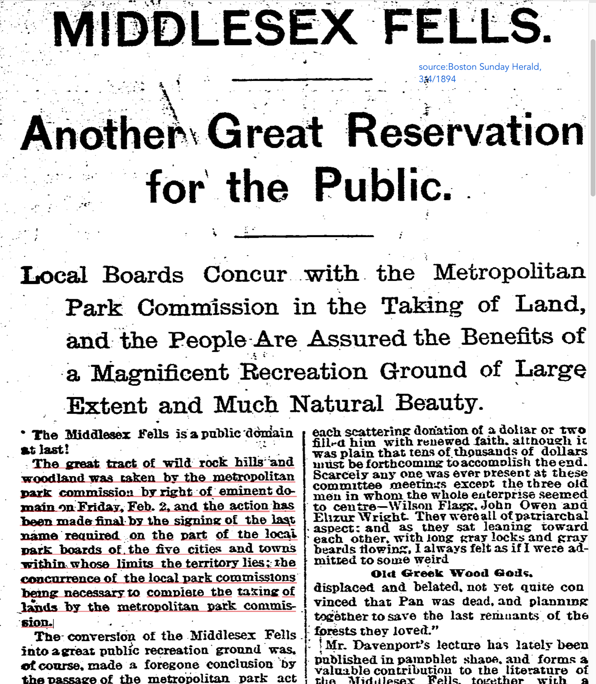
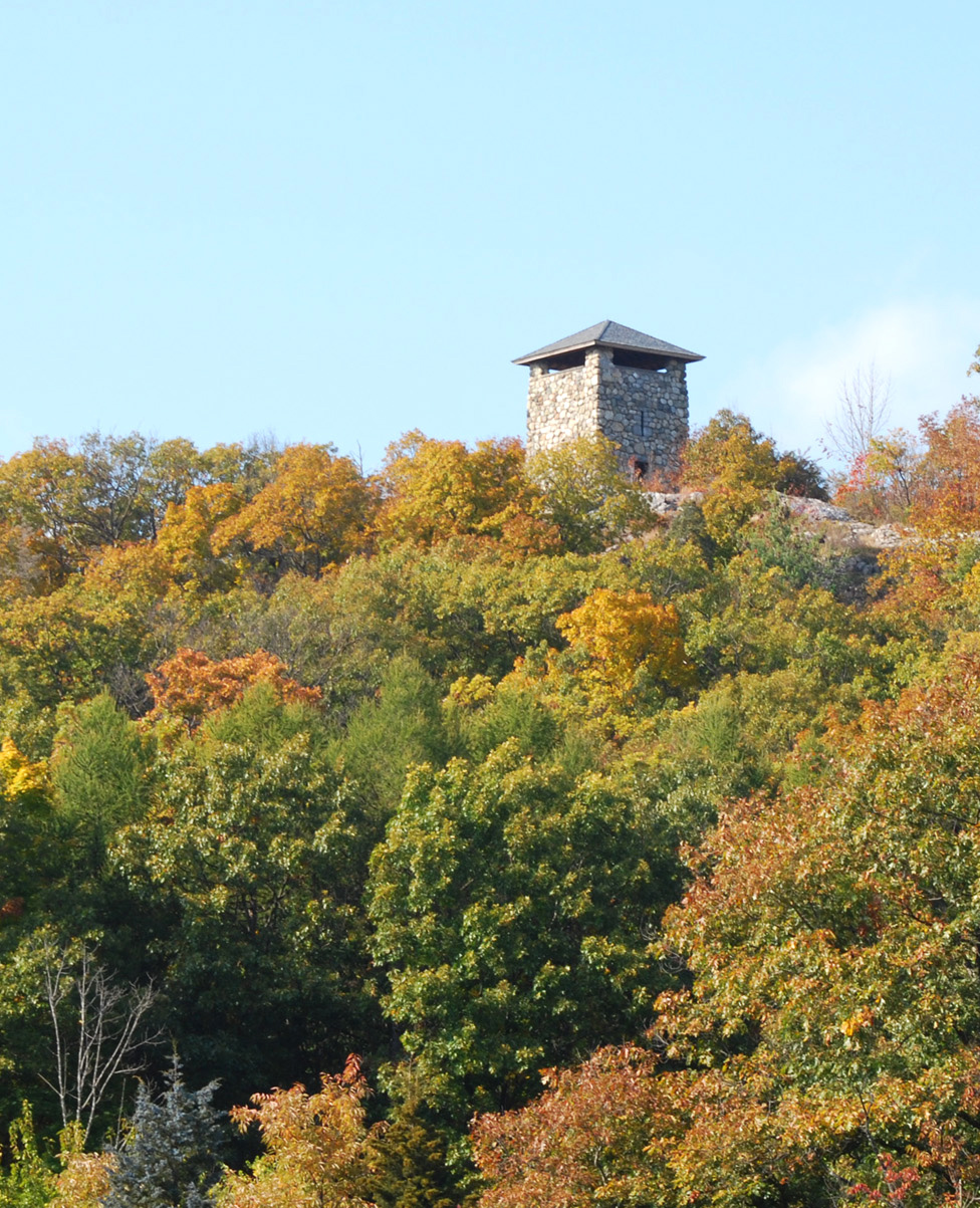
Boston Herald, March 1894 Wright's Tower in the Fells
Elizur Wright was one of the leaders of the long struggle for the
forest area north of Boston to be set aside as a park.
One
purpose of this
website
is to inform any prospective hiker, casual walker or biker, if you slow
down every now and then, what to look for, what
to expect to see, any given month of
the year. Just click on the
month of choice in the list further down this page.
From time to time I lead nature hikes. Look for postings at
www.fells.org the website of the Friends of the
Middlesex Fells where you can join the Friends - please do - and
then get a
free map,
and see listings of
organized hikes on geology, birds, plants, animals
etc. The Friends has also subdivided the Fells into
20 zones where what we call Trail
Adopters take on to care for the zone of their choice. Do think
of becoming one; and if you already are, then I'm happy to walk with
you in your zone to point out any special plants of interest. My e-mail
is just below.
Then for news and commentary on current issues in the Fells click on the link current goings on at the top of this page. That page also gives news of latest plant sightings and invites your participation.
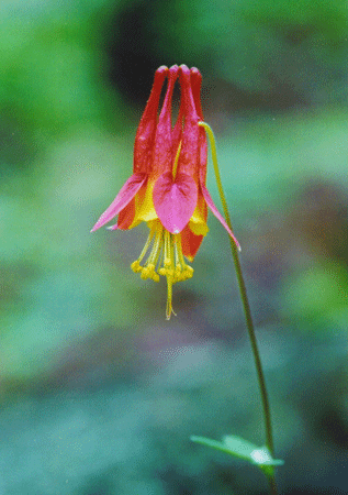
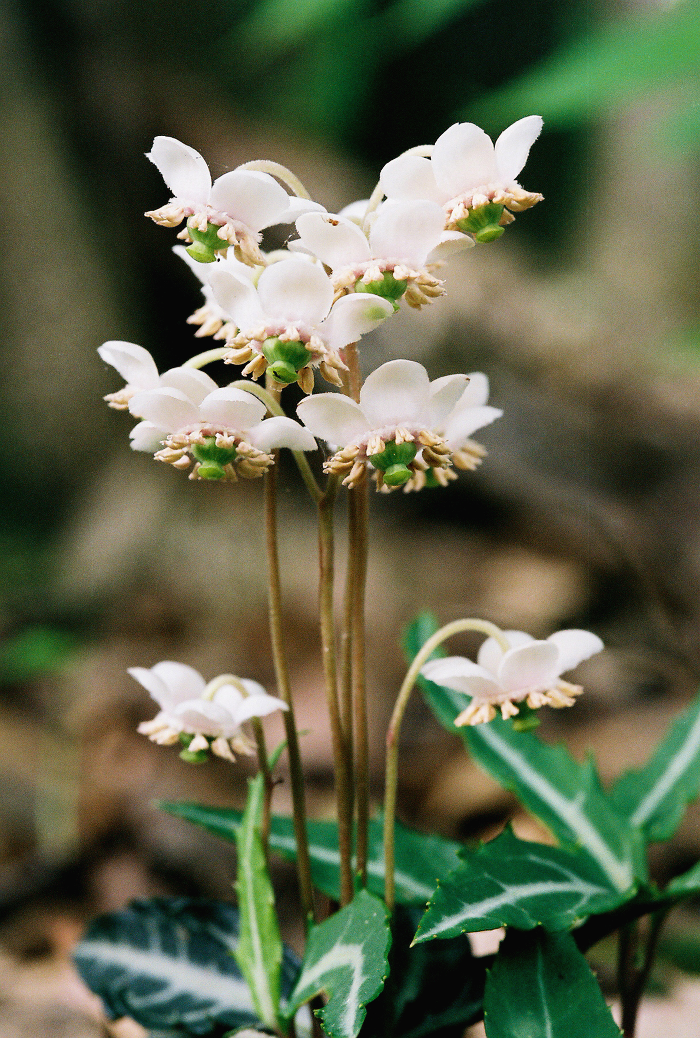
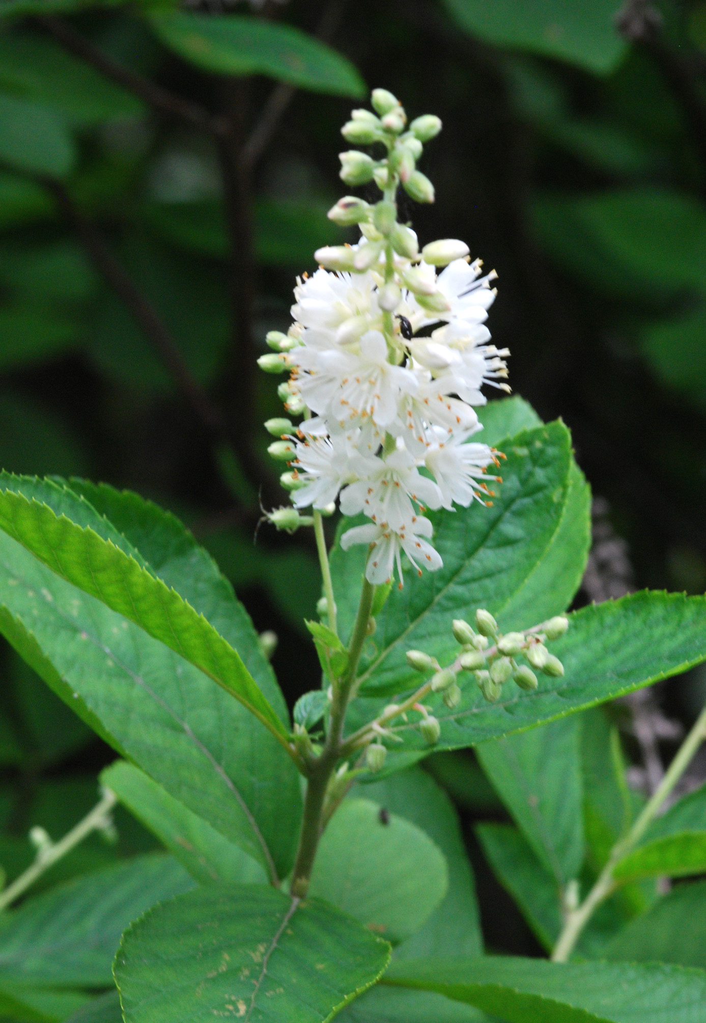
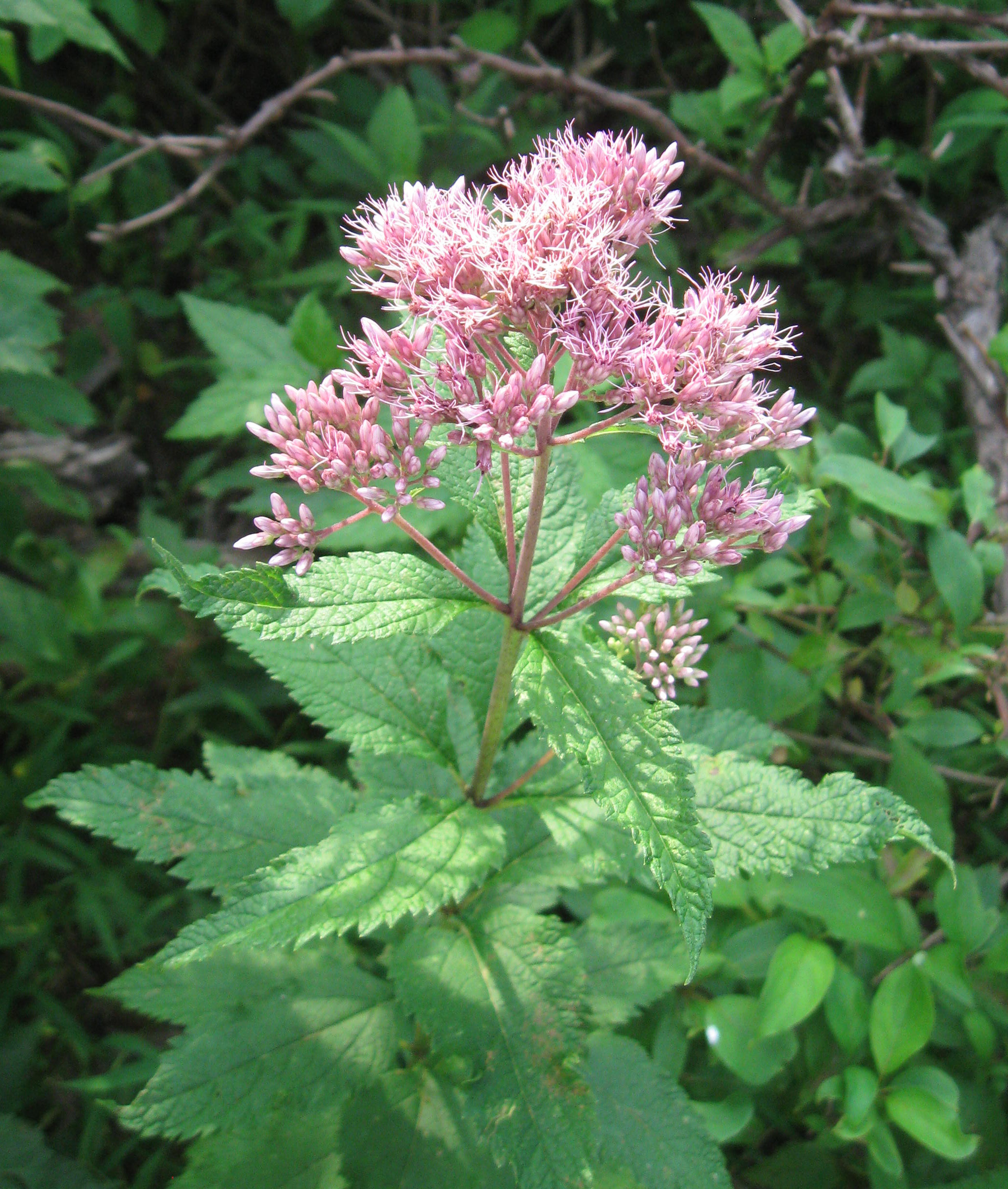
I
photograph the wildflowers in the Middlesex Fells, see the link to
the flower
gallery pages below. And I
have a 40 minute powerpoint
presentation about the creation of the park and about the plants
of the
Fells, and the various beautiful sights in this forest park. I'm ready
to
give this powerpoint slide-show to any audience in the area.
I'm
also concerned about the spread of what the Mass. Division of
Wildlife and Fisheries terms 'invasive'
plants. These are a particular group of foreign plants that
aggressively
take over, killing the native
plants, including trees. It
is a serious threat
to the Fells. I also now have a new
powerpoint presentation specifically about these invasive plants in the
Fells. I am happy to
show people what these unwelcome plants look like and discuss how to
deal with them. Meanwhile, go to the state website
www.massnrc.org/MIPAG for pictures and descriptions of these invasive
plants.
I hope this website might develop into more of a communal site where others also report their findings of the nature of the Fells. What have you found in the Fells? And let me know if you wish a copy of the detailed listing of the nearly one thousand plant species in the Fells that a team of us reported in an article in the journal Rhodora in 2012 - bryanthamlin@gmail.com
And don't forget: visit the Friends of
the Fells Facebook
page: www.fells.org and
find out
what's happening on a near daily basis in the Fells.
Bryan Hamlin
Here is a list of months linking you to a description, plus photos, of what can be found in the Fells each month of the year.
Click on the month of your choice for what to look for in the Fells at that time.
JanuaryFebruary
March
April
September
October
November
December
click here
The Middlesex
Fells is administered by the
Massachusetts
Department of Conservation and Recreation (DCR) which also has a page
about the
Fells on its website at: www.mass.gov/dcr/parks/metroboston/fells.htm